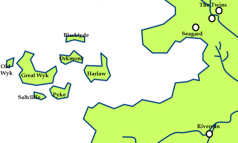
File: Iron Islands.png
From A Wiki of Ice and Fire

Size of this preview: 800 × 482 pixels. Other resolutions: 320 × 193 pixels | 825 × 497 pixels.
Original file (825 × 497 pixels, file size: 74 KB, MIME type: image/png)
Summary
Iron Islands map, Created by Scafloc from a map of Westeros on wikipedia[1]
![[1]](http://en.wikipedia.org/wiki/File:Westeros.png)
License

|
Permission is granted to copy, distribute and/or modify this document under the terms of the GNU Free Documentation License, Version 1.3 or any later version published by the Free Software Foundation; with no Invariant Sections, no Front-Cover Texts, and no Back-Cover Texts. |
| The complete text of the license can be found on the webpage of the GNU Free Documentation License. |
File history
Click on a date/time to view the file as it appeared at that time.
| Date/Time | Thumbnail | Dimensions | User | Comment | |
|---|---|---|---|---|---|
| current | 23:35, 16 March 2011 | | 825 × 497 (74 KB) | Scafloc (talk | contribs) | Created by Scafloc from a map of Westeros on wikipedia[http://en.wikipedia.org/wiki/File:Westeros.png]. As the orginal wiki map: permission is granted to copy, distribute and/or modify this document under the terms of the [http://en |
- You cannot overwrite this file.
File usage
The following page links to this file: