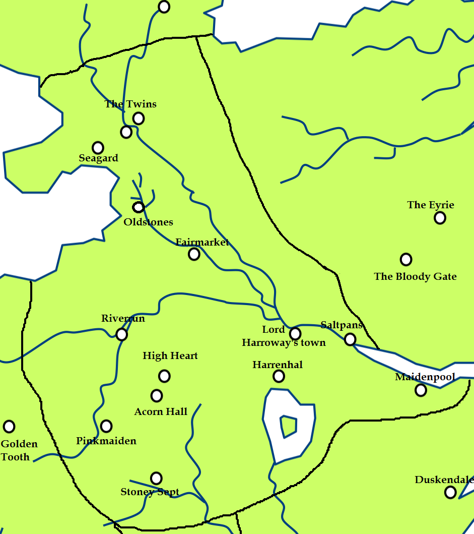
File: The Riverlands.png
From A Wiki of Ice and Fire
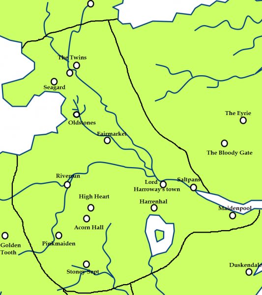
Size of this preview: 533 × 600 pixels. Other resolutions: 213 × 240 pixels | 941 × 1,059 pixels.
Original file (941 × 1,059 pixels, file size: 124 KB, MIME type: image/png)
Created by Scafloc from a map of Westeros on wikipedia[1].
![[1]](http://en.wikipedia.org/wiki/File:Westeros.png)
As the orginal wiki map: permission is granted to copy, distribute and/or modify this document under the terms of the GNU Free Documentation License, Version 1.2 or any later version published by the Free Software Foundation; with no Invariant Sections, no Front-Cover Texts, and no Back-Cover Texts.
A copy of the license is included in the section entitled "GNU Free Documentation License"[2].
File history
Click on a date/time to view the file as it appeared at that time.
| Date/Time | Thumbnail | Dimensions | User | Comment | |
|---|---|---|---|---|---|
| current | 14:17, 17 March 2011 | | 941 × 1,059 (124 KB) | Scafloc (talk | contribs) | Created by Scafloc from a map of Westeros on wikipedia[http://en.wikipedia.org/wiki/File:Westeros.png]. As the orginal wiki map: permission is granted to copy, distribute and/or modify this document under the terms of the [http://en |
- You cannot overwrite this file.
File usage
The following 43 pages link to this file:
- Acorn Hall
- Blackwater Rush
- Blackwood Vale
- Blue Fork
- Briarwhite
- Cape of Eagles
- Darry
- Fairmarket
- Gods Eye
- Gods Eye river
- Gods Eye town
- Green Fork
- Harrenhal
- Harrenton
- High Heart
- Inn at the crossroads
- Inn of the Kneeling Man
- Isle of Faces
- Lord Harroway's Town
- Lord of Acorn Hall
- Lord of Maidenpool
- Maidenpool
- Oldstones
- Pennytree
- Pinkmaiden Castle
- Quiet Isle
- Raventree Hall
- Red Fork
- Riverlands
- Riverrun
- Ruby ford
- Saltpans
- Seagard
- Stone Hedge
- Stoney Sept
- Teats
- Trident
- Tumblestone
- Twins
- Wendish Town
- Whispering Wood
- User:SerMyLady/Maps
- A Wiki of Ice and Fire:Map Project